Finches in Alaska
9 species of finches have ten or more open-licence records in three or more years in Alaska. Open-licence records in the state that carry a month (4,008 of them) peak in June and are fewest in December.
The most often recorded is the Common Redpoll, with 13,276 open-licence records in the state.
The list rests on 24,581 open-licence records of finches in the state; 4 further species have records there but fewer than ten, or in fewer than three years.
| Species | Open records | Years | Peak month | |
|---|---|---|---|---|
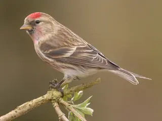 | Common Redpoll Acanthis flammea Fringillidae | 13,276 | 43 | July |
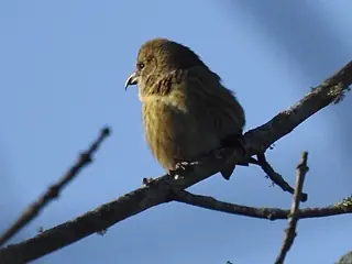 | White-winged Crossbill Loxia leucoptera Fringillidae | 3,590 | 33 | June |
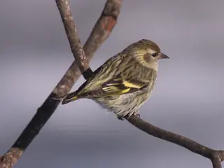 | Pine Siskin Spinus pinus Fringillidae | 2,351 | 33 | July |
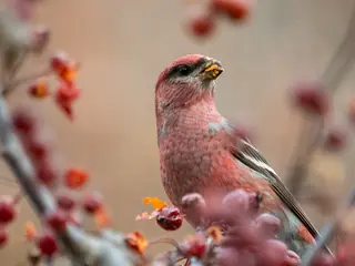 | Pine Grosbeak Pinicola enucleator Fringillidae | 2,182 | 31 | July |
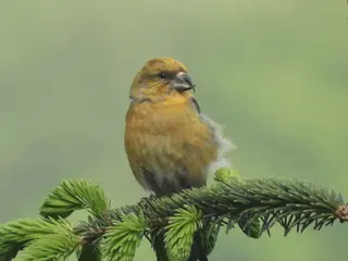 | Red Crossbill Loxia curvirostra Fringillidae | 1,128 | 18 | July |
| Hoary Redpoll Acanthis hornemanni Fringillidae | 867 | 13 | June | |
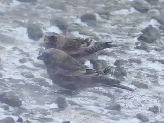 | Rosy Finch Leucosticte arctoa Fringillidae | 685 | 12 | June |
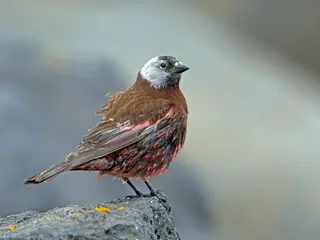 | Gray-crowned Rosy-finch Leucosticte tephrocotis Fringillidae | 485 | 20 | June |
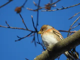 | Brambling Fringilla montifringilla Fringillidae | 12 | 4 |
A species is listed with ten or more open-licence records in Alaska across three or more years since 2000. Records are observations and specimens under CC0 and CC BY licences, with eBird left out; they follow observers as well as animals, so a species that is missing is not shown to be absent.
More Alaska lists
Other groups in Alaska
Sources
- AVONET: morphological ecological and geographical data for all birds. CC BY 4.0. Read 2026-11-15.
- EltonTraits 1.0. CC0. Read 2026-11-15.
- GBIF Backbone Taxonomy. CC BY 4.0. Read 2026-11-15.
- GBIF occurrence records under CC0 and CC BY 4.0. CC0 and CC BY 4.0 per record. Read 2026-11-16.
- Integrated Taxonomic Information System. CC0. Read 2026-11-15.
- US Census Bureau cartographic boundary files 2023. Public domain (US Census Bureau). Read 2026-11-15.
- USGS GAP 12-digit hydrologic unit range units. Public domain (USGS). Read 2026-11-15.
- USGS Gap Analysis Project Species Range Maps CONUS_2001. Public domain (USGS). Read 2026-11-15.
- iNaturalist photographs under CC0 and CC BY. CC0 and CC BY per photograph. Read 2026-11-15.
How each figure is derived is set out on the methods page.