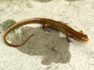
Many-ribbed Salamander
Eurycea multiplicata
The Many-ribbed Salamander (Eurycea multiplicata) is a salamander in the family Plethodontidae. USGS maps its range in 5 of the lower 48 states, most widely in Arkansas, where it covers 48% of the state. Adults reach up to 6.3 in (160 mm) in body length.
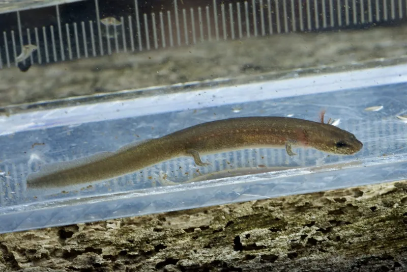
It lives in water.
The USGS habitat model maps it in 15 land-cover types, among them South-Central Interior Large Floodplain, Mississippi River Floodplain and Riparian Forest and Central Interior and Appalachian Floodplain Systems. The USGS habitat model keeps it within 30 m of flowing water. The model places it between 107 and 763 m (350 ft to 2,500 ft) in elevation.
Open-licence records from the lower 48 (1,484 of them) peak in April and are fewest in July. A clutch can hold up to 21 eggs.
By size, range and water use in the USGS models, the species most easily taken for it are the Small-mouthed Salamander, the Eastern Newt, the Grotto Salamander and the Long-tailed Salamander.
Where the Many-ribbed Salamander lives
| State | Share of state | Counties | Open records | Peak month |
|---|---|---|---|---|
| Arkansas | 48% | 38 of 75 | 874 | April |
| Oklahoma | 20% | 17 of 77 | 769 | March |
| Missouri | 17% | 19 of 115 | 162 | April |
| Kansas | under 1% | 1 of 105 | 3 | |
| Texas | under 1% | 0 of 254 |
Share of state is the part of each state inside the range map. Counties counts those with at least a tenth of their area in range. A state link opens that state's full list.
When it is recorded
Species it can be taken for
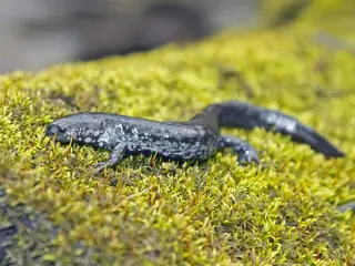
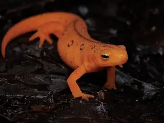
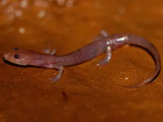
Chosen by rule: the same group, an adult size within 30%, at least one shared state and the same water use in the USGS habitat models. It is a list of candidates, not an identification.
Sources
- AmphiBIO v1. CC BY 4.0. Read 2026-11-15.
- GBIF Backbone Taxonomy. CC BY 4.0. Read 2026-11-15.
- GBIF occurrence records under CC0 and CC BY 4.0. CC0 and CC BY 4.0 per record. Read 2026-11-15.
- Integrated Taxonomic Information System. CC0. Read 2026-11-15.
- US Census Bureau cartographic boundary files 2023. Public domain (US Census Bureau). Read 2026-11-15.
- USGS GAP 12-digit hydrologic unit range units. Public domain (USGS). Read 2026-11-15.
- USGS Gap Analysis Project Species Habitat Maps CONUS_2001 (model parameters). Public domain (USGS). Read 2026-11-15.
- USGS Gap Analysis Project Species Range Maps CONUS_2001. Public domain (USGS). Read 2026-11-15.
- iNaturalist photographs under CC0 and CC BY. CC0 and CC BY per photograph. Read 2026-11-15.
How each figure is derived is set out on the methods page.