Wildlife in Massachusetts
USGS range maps place 384 species of birds, mammals, reptiles and amphibians in Massachusetts: 273 birds, 57 mammals, 31 reptiles and 23 amphibians.
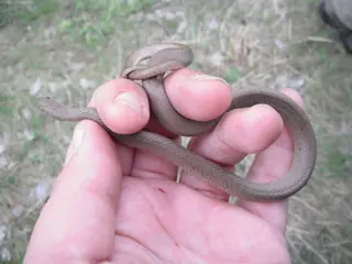 Snakes15 species
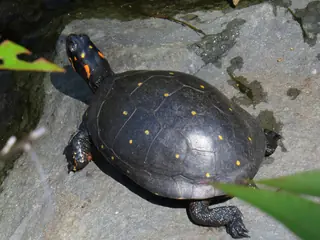 Turtles15 species
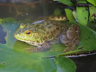 Frogs and toads11 species
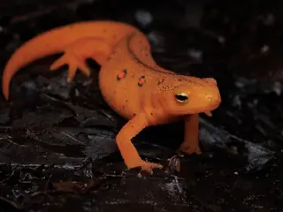 Salamanders12 species
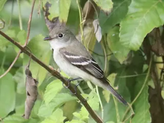 Birds273 species
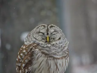 Owls8 species
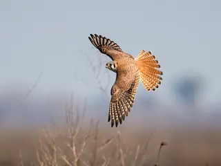 Hawks, eagles and falcons14 species
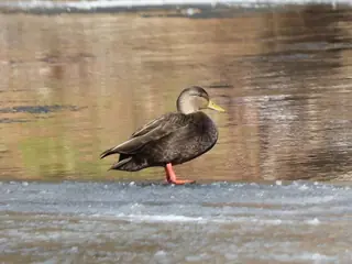 Ducks, geese and swans33 species
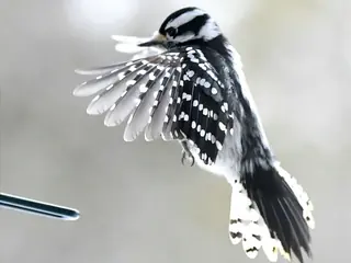 Woodpeckers6 species
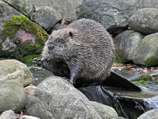 Mammals57 species
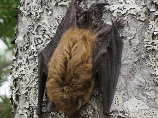 Bats9 species
- Rodents20 species
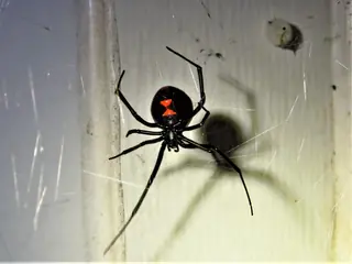 Spiders97 species
The venomous species are the Timber Rattlesnake and the Copperhead. All belong to the groups the CDC lists for the United States (rattlesnakes, copperheads, cottonmouths and coral snakes).
The most species are mapped in Plymouth County (363); the fewest in Nantucket County (304).
USGS marks 7 of them as introduced in the state: the Brown Rat, the European Starling, the House Mouse, the House Sparrow, the Eastern Cottontail and 2 more.
Open-licence records add 97 spider species, listed under the records rule (ten or more open-licence records in three or more years).
- 304 to 316
- 317 to 322
- 323 to 341
- 342 to 351
- 352 to 363
Venomous and introduced species
By kind
- Blackbirds and orioles 8
- Cellar spiders 2
- Crab spiders 6
- Falcons 3
- Finches 10
- Fishing spiders 3
- Gulls and terns 19
- Herons and egrets 11
- Jays, crows and ravens 4
- Jumping spiders 29
- Orb-weaver spiders 19
- Rabbits and hares 4
- Sea turtles 5
- Shrews 5
- Sparrows 17
- Squirrels and chipmunks 6
- Swallows 6
- True frogs 5
- Warblers 29
- Weasels, otters and badgers 4
- Wolf spiders 8
- Wrens 4
By county
- Barnstable County 351
- Berkshire County 317
- Bristol County 355
- Essex County 342
- Hampden County 322
- Hampshire County 316
- Middlesex County 325
- Norfolk County 353
- Plymouth County 363
- Suffolk County 345
- Worcester County 321
County pages cover counties of 100,000 people or more.
Nearby states
Sources
- CDC NIOSH venomous snakes and venomous spiders pages. Public domain (CDC). Read 2026-11-15.
- GBIF occurrence records under CC0 and CC BY 4.0. CC0 and CC BY 4.0 per record. Read 2026-11-16.
- US Census Bureau cartographic boundary files 2023. Public domain (US Census Bureau). Read 2026-11-15.
- USGS GAP 12-digit hydrologic unit range units. Public domain (USGS). Read 2026-11-15.
- USGS Gap Analysis Project Species Range Maps CONUS_2001. Public domain (USGS). Read 2026-11-15.
How each figure is derived is set out on the methods page.