Sparrows in Missouri
22 species of sparrows have a mapped range in Missouri. 16 are mapped across the whole state, among them the American Tree Sparrow, the Chipping Sparrow and the Dark-eyed Junco.
The most restricted is the Spotted Towhee, mapped in 10% of the state.
The heaviest is the Eastern Towhee, at 1.4 oz (40 g); the lightest is the Clay-colored Sparrow, at 0.4 oz (11 g).
Of these, 3 are mapped year-round, 5 in summer only, 8 in winter only and 6 on migration only.
The most species are mapped in Vernon County (21); the fewest in Dunklin County (17).
Open-licence records in the state that carry a month (4,268 of them) peak in April and are fewest in September.
The most often recorded is the Dark-eyed Junco, with 1,075 open-licence records in the state.
- 17
- 18
- 19
- 20
- 21
| Species | Size | Share of Missouri | Active | Records | |
|---|---|---|---|---|---|
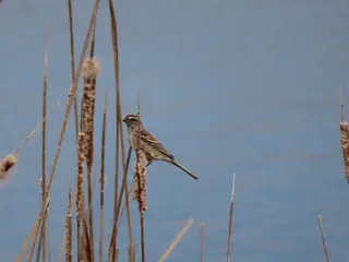 | American Tree Sparrow winter Spizelloides arborea Passerellidae | 0.6 oz (18 g) | all | day | 105 |
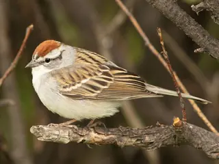 | Chipping Sparrow summer Spizella passerina Passerellidae | 0.4 oz (12 g) | all | day | 378 |
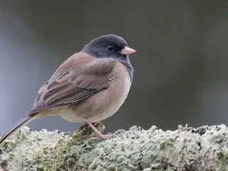 | Dark-eyed Junco winter Junco hyemalis Passerellidae | 0.7 oz (20 g) | all | day | 1,075 |
 | Field Sparrow Spizella pusilla Passerellidae | 0.4 oz (12 g) | all | day | 367 |
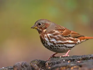 | Fox Sparrow winter Passerella iliaca Passerellidae | 1.2 oz (33 g) | all | day | 87 |
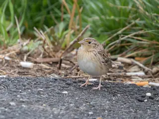 | Grasshopper Sparrow summer Ammodramus savannarum Passerellidae | 0.6 oz (18 g) | all | day | 107 |
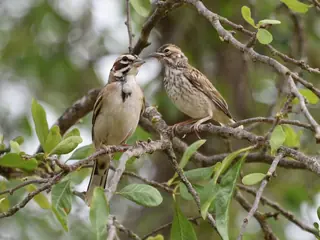 | Lark Sparrow summer Chondestes grammacus Passerellidae | 1.0 oz (29 g) | all | day | 68 |
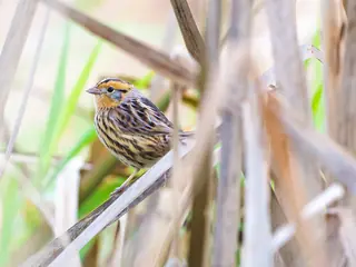 | Le Conte's Sparrow winter Ammospiza leconteii Passerellidae | 0.5 oz (13 g) | all | day | 40 |
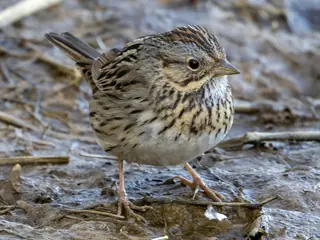 | Lincoln's Sparrow migration Melospiza lincolnii Passerellidae | 0.6 oz (17 g) | all | day | 137 |
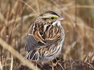 | Savannah Sparrow migration Passerculus sandwichensis Passerellidae | 0.7 oz (20 g) | all | day | 144 |
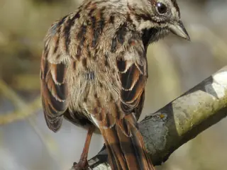 | Song Sparrow Melospiza melodia Passerellidae | 0.8 oz (22 g) | all | day | 772 |
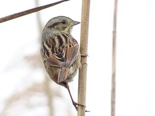 | Swamp Sparrow winter Melospiza georgiana Passerellidae | 0.6 oz (16 g) | all | day | 218 |
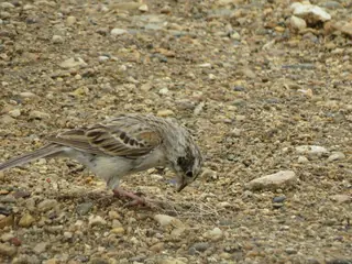 | Vesper Sparrow migration Pooecetes gramineus Passerellidae | 0.9 oz (26 g) | all | day | 125 |
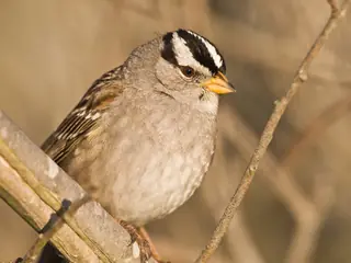 | White-crowned Sparrow winter Zonotrichia leucophrys Passerellidae | 1.0 oz (28 g) | all | day | 471 |
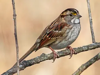 | White-throated Sparrow winter Zonotrichia albicollis Passerellidae | 0.9 oz (24 g) | all | day | 710 |
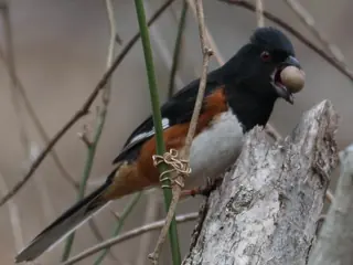 | Eastern Towhee summer Pipilo erythrophthalmus Passerellidae | 1.4 oz (40 g) | all | day | 354 |
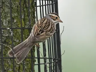 | Clay-colored Sparrow migration Spizella pallida Passerellidae | 0.4 oz (11 g) | 92% | day | 20 |
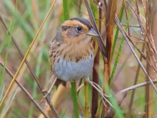 | Nelson's Sharp-tailed Sparrow migration Ammospiza nelsoni Passerellidae | 0.5 oz (15 g) | 89% | day | 14 |
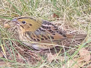 | Henslow's Sparrow summer Centronyx henslowii Passerellidae | 0.5 oz (13 g) | 86% | day | 114 |
 | Harris's Sparrow migration Zonotrichia querula Passerellidae | 1.3 oz (36 g) | 62% | day | 207 |
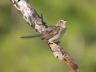 | Bachman's Sparrow Peucaea aestivalis Passerellidae | 0.7 oz (20 g) | 13% | day | 15 |
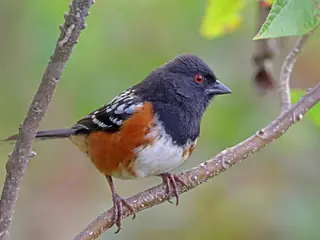 | Spotted Towhee winter Pipilo maculatus Passerellidae | 1.4 oz (39 g) | 10% | day | 13 |
Share of Missouri is the part of the state inside the species' USGS range map. Size is the largest on record where the source gives a maximum, otherwise a typical adult. Records are open-licence observations and specimens in the state, with eBird left out; a blank means none were counted, not that the species is absent. "Recorded" marks a species with no USGS range here that open records place in the state (ten or more, in three or more years).
More Missouri lists
Other groups in Missouri
Sparrows in nearby states
Sources
- AVONET: morphological ecological and geographical data for all birds. CC BY 4.0. Read 2026-11-15.
- EltonTraits 1.0. CC0. Read 2026-11-15.
- GBIF Backbone Taxonomy. CC BY 4.0. Read 2026-11-15.
- GBIF occurrence records under CC0 and CC BY 4.0. CC0 and CC BY 4.0 per record. Read 2026-11-16.
- US Census Bureau cartographic boundary files 2023. Public domain (US Census Bureau). Read 2026-11-15.
- USGS GAP 12-digit hydrologic unit range units. Public domain (USGS). Read 2026-11-15.
- USGS Gap Analysis Project Species Range Maps CONUS_2001. Public domain (USGS). Read 2026-11-15.
- iNaturalist photographs under CC0 and CC BY. CC0 and CC BY per photograph. Read 2026-11-15.
How each figure is derived is set out on the methods page.