Wildlife in Oregon
USGS range maps place 538 species of birds, mammals, reptiles and amphibians in Oregon: 330 birds, 141 mammals, 32 reptiles and 35 amphibians.
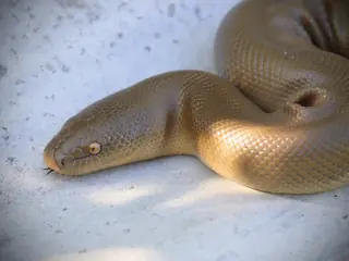 Snakes15 species
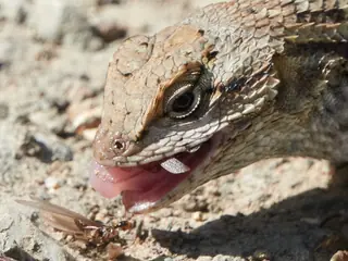 Lizards12 species
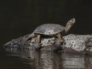 Turtles5 species
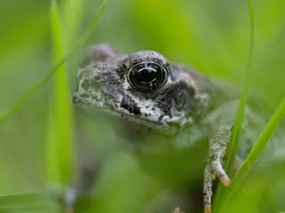 Frogs and toads15 species
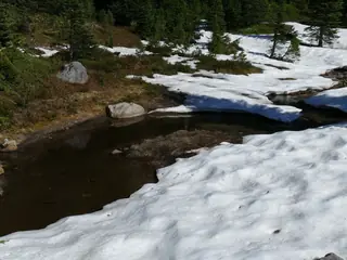 Salamanders20 species
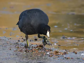 Birds330 species
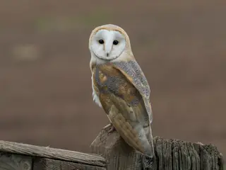 Owls14 species
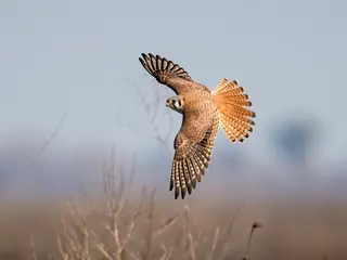 Hawks, eagles and falcons19 species
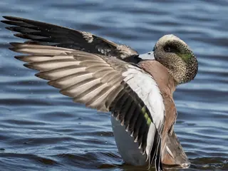 Ducks, geese and swans35 species
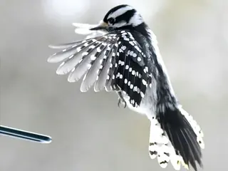 Woodpeckers12 species
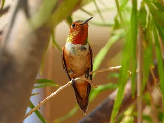 Hummingbirds6 species
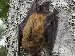 Mammals141 species
- Bats17 species
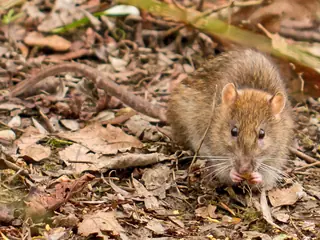 Rodents66 species
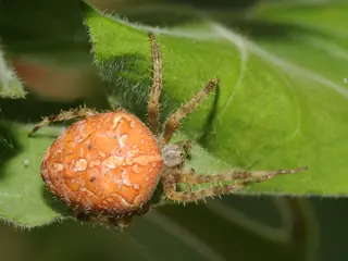 Spiders47 species
The venomous species is the Western Rattlesnake. It belongs to the groups the CDC lists for the United States (rattlesnakes, copperheads, cottonmouths and coral snakes).
The most species are mapped in Klamath County (363); the fewest in Columbia County (291).
USGS marks 19 of them as introduced in the state: the Brown Rat, the Eurasian Collared-dove, the European Starling, the House Mouse, the House Sparrow and 14 more.
Open-licence records add 47 spider species, listed under the records rule (ten or more open-licence records in three or more years).
- 291 to 306
- 307 to 322
- 323 to 328
- 329 to 342
- 343 to 363
Venomous and introduced species
By kind
- Blackbirds and orioles 9
- Cellar spiders 2
- Deer, elk and moose 4
- Doves and pigeons 4
- Eagles 2
- Falcons 5
- Finches 13
- Foxes 3
- Garter snakes and ribbon snakes 4
- Gulls and terns 17
- Herons and egrets 8
- Jays, crows and ravens 8
- Jumping spiders 16
- Orb-weaver spiders 11
- Rabbits and hares 7
- Shrews 11
- Sparrows 20
- Squirrels and chipmunks 22
- Swallows 7
- True frogs 7
- Warblers 14
- Weasels, otters and badgers 8
- Wrens 6
By county
- Clackamas County 325
- Deschutes County 339
- Douglas County 349
- Jackson County 354
- Lane County 358
- Linn County 334
- Marion County 330
- Multnomah County 317
- Washington County 295
- Yamhill County 306
County pages cover counties of 100,000 people or more.
Nearby states
Sources
- CDC NIOSH venomous snakes and venomous spiders pages. Public domain (CDC). Read 2026-11-15.
- GBIF occurrence records under CC0 and CC BY 4.0. CC0 and CC BY 4.0 per record. Read 2026-11-16.
- US Census Bureau cartographic boundary files 2023. Public domain (US Census Bureau). Read 2026-11-15.
- USGS GAP 12-digit hydrologic unit range units. Public domain (USGS). Read 2026-11-15.
- USGS Gap Analysis Project Species Range Maps CONUS_2001. Public domain (USGS). Read 2026-11-15.
How each figure is derived is set out on the methods page.