Golden-mantled Ground Squirrel
Callospermophilus lateralis
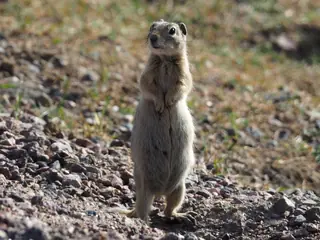
The Golden-mantled Ground Squirrel (Callospermophilus lateralis) is a mammal in the family Sciuridae. USGS maps its range in 13 of the lower 48 states, most widely in Utah, where it covers 86% of the state. Adults measure about 12 in (310 mm) in body length and weigh about 8.0 oz (227 g).
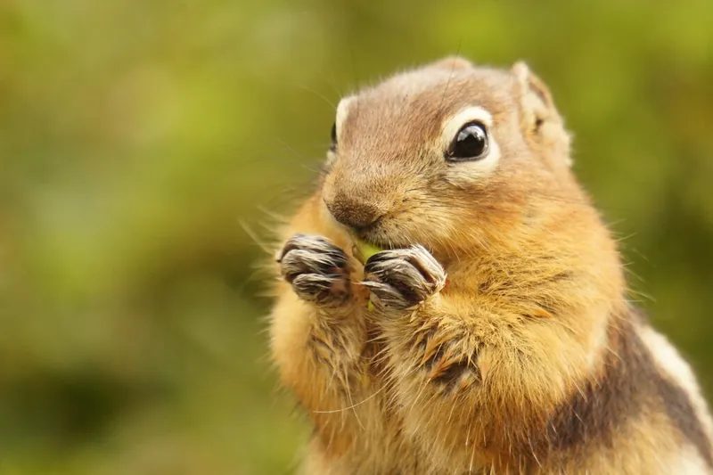
It is active by day. It hibernates or enters torpor.
The USGS habitat model maps it across 87 land-cover types. The model places it between 1,220 and 3,965 m (4,000 ft to 13,000 ft) in elevation.
Open-licence records from the lower 48 (12,774 of them) peak in July and are fewest in February. A typical litter is about 5.1. The longest recorded lifespan is 10.4 years.
By size, range and water use in the USGS models, the species most easily taken for it are the Rock Squirrel, the Northern Flying Squirrel, the Thirteen-lined Ground Squirrel and the Wyoming Ground Squirrel.
Where the Golden-mantled Ground Squirrel lives
| State | Share of state | Counties | Open records | Peak month |
|---|---|---|---|---|
| Utah | 86% | 29 of 29 | 1,204 | July |
| Nevada | 82% | 17 of 17 | 1,031 | July |
| Idaho | 81% | 42 of 44 | 329 | July |
| Colorado | 78% | 56 of 64 | 2,293 | July |
| Oregon | 70% | 26 of 36 | 1,106 | July |
| Wyoming | 51% | 15 of 23 | 672 | July |
| New Mexico | 44% | 18 of 33 | 1,059 | July |
| Montana | 40% | 30 of 56 | 369 | July |
| Arizona | 38% | 8 of 15 | 907 | July |
| California | 29% | 28 of 58 | 4,039 | July |
| Washington | 15% | 8 of 39 | 72 | July |
| Oklahoma | 3% | 2 of 77 | 1 | |
| Texas | under 1% | 3 of 254 | 1 |
Share of state is the part of each state inside the range map. Counties counts those with at least a tenth of their area in range. A state link opens that state's full list.
When it is recorded
Species it can be taken for
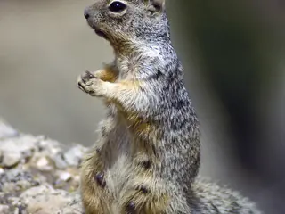
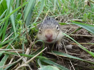
Chosen by rule: the same group, an adult size within 30%, at least one shared state and the same water use in the USGS habitat models. It is a list of candidates, not an identification.
Lists it appears on
Sources
- COMBINE: a coalesced mammal database of intrinsic and extrinsic traits. CC BY 4.0. Read 2026-11-15.
- GBIF Backbone Taxonomy. CC BY 4.0. Read 2026-11-15.
- GBIF occurrence records under CC0 and CC BY 4.0. CC0 and CC BY 4.0 per record. Read 2026-11-15.
- Integrated Taxonomic Information System. CC0. Read 2026-11-15.
- US Census Bureau cartographic boundary files 2023. Public domain (US Census Bureau). Read 2026-11-15.
- USGS GAP 12-digit hydrologic unit range units. Public domain (USGS). Read 2026-11-15.
- USGS Gap Analysis Project Species Habitat Maps CONUS_2001 (model parameters). Public domain (USGS). Read 2026-11-15.
- USGS Gap Analysis Project Species Range Maps CONUS_2001. Public domain (USGS). Read 2026-11-15.
- iNaturalist photographs under CC0 and CC BY. CC0 and CC BY per photograph. Read 2026-11-15.
How each figure is derived is set out on the methods page.